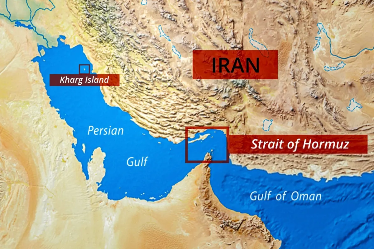
While the public views the 54-kilometer-wide Strait of Hormuz as a vast expanse of open ocean, the reality for commercial shipping is claustrophobic. Massive crude carriers cannot simply navigate anywhere they please. The actual navigable lanes are shockingly narrow, bounded by a highly complex underwater terrain.
- Traffic Separation Schemes (TSS): To prevent catastrophic collisions, inbound and outbound shipping lanes are restricted to just two miles (3.2 kilometers) wide each, separated by a two-mile buffer zone.
- The Moving Ocean Floor: The bottom of the Strait is far from a flat plain. It features dynamic, shifting underwater sand dunes, extreme tidal fluctuations, and complex structural trenches. Very Large Crude Carriers (VLCCs) with drafts exceeding 20 meters must navigate with millimeter precision.
A single mathematical error or a failure to map real-time changes in seafloor morphology would trigger an ecological and economic catastrophe that could instantly freeze global markets.
2. The Shadow Corridor Revolution: Is the Monopolistic Grip Slipping?
The real driver behind the current trend surrounding Hormuz is a quiet, aggressive push by regional powers to render any potential blockade economically irrelevant. Major players are investing heavily in massive infrastructure projects designed to completely bypass the geography of the Persian Gulf.
| Alternative Route / Corridor | Operational Capacity & Mechanism | Strategic Economic Impact |
|---|---|---|
| Habshan–Fujairah Pipeline (UAE) | 1.5 Million Barrels/Day (bpd) diverted directly to the Gulf of Oman Terminal. | Completely bypasses the critical chokepoint for core Emirati crude oil exports. |
| Saudi East-West Petroline Expansion | Upgraded multi-million bpd transit infrastructure routed to Yanbu Port. | Secures baseline Saudi Arabian crude supply via the Red Sea during maritime crises. |
| IMEC & Intercontinental Rail Linkages | Multi-modal intercontinental land-bridge connecting India, ME, and Europe. | Permanently dilutes structural global reliance on volatile maritime bottlenecks. |
These mega-projects are not merely standard transit lines; they are deliberate, permanent structural realignments of global energy routes meant to systematically strip the Strait of Hormuz of its absolute leverage over the global economy.
3. The IoMT and the Artificial Intelligence Shielding the Chokepoint
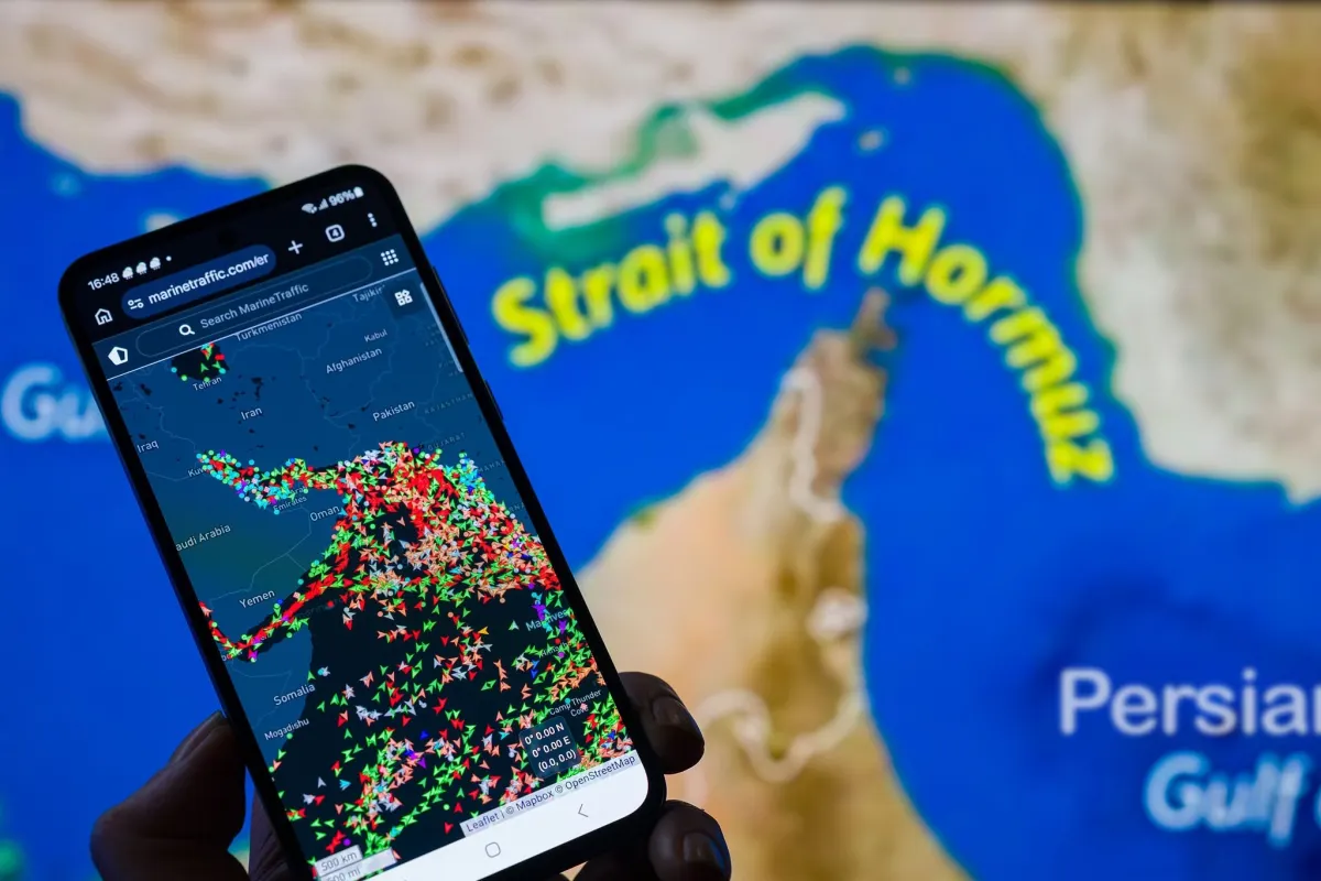
One of the most tightly guarded secrets of modern maritime trade is that traffic management within the Strait has been almost entirely outsourced to artificial intelligence and the Internet of Maritime Things (IoMT). Insurance conglomerates and global shipping giants are deploying technologies that didn't exist even a few years ago to protect their assets.
Predictive AI Crisis Modeling
Advanced neural networks analyze telemetry from the Automatic Identification System (AIS), cross-referencing minor changes in ship speeds, subtle deviations in heading, and historical anomalies. This allows algorithms to flag potential security threats, irregular drone activity, or imminent collisions hours before human operators spot them.
Read More


The Rise of GPS Spoofing and Electronic Electronic Warfare
A major technical trend currently sweeping the region is localized electronic warfare, specifically sophisticated GPS spoofing. Merchant vessels are increasingly forced to operate using non-satellite backup navigation systems and deep-sea digital bathymetric mapping. By matching sonar readings with highly classified maps of the ocean floor, these ships can navigate safely even when their satellite signals are completely blinded.