Advanced 4D geophysical simulations reveal that tectonic stress along the southern San Andreas Fault system has officially surged to its highest level in a millennium. While scientists emphasize this is not a calendar prediction for an earthquake, it means the underground «spring» is critically loaded—and California's infamous «Earthquake Gate» is under unprecedented pressure.
A Ticking Time Bomb Beneath the Golden State!
Imagine a colossal steel spring being relentlessly compressed for over 160 years without a single pause. That is exactly what is happening right now beneath the sun-drenched surface of California.
According to a groundbreaking geophysical study published in the Journal of Geophysical Research, tectonic stress levels in Southern California have reached a boiling point unseen in the last 1,000 years.
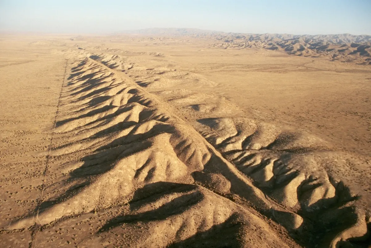
Dr. Liliane Burkhard, a leading geophysicist and the head of the research project, reconstructed a millennium of seismic history for the region. The data revealed that the locked rocks of the fault system are under more strain than at any point in modern history. Along the neighboring San Jacinto fault zone, stress has spiked to an unprecedented 3.6 megapascals—a staggering 24% higher than the previous historical record set way back in the year 1249.
Inside California’s ‘Earthquake Gate’
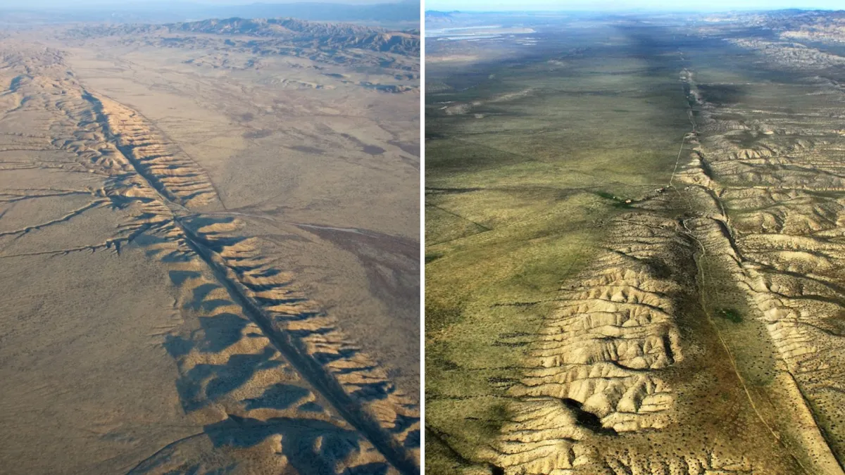
One of the most alarming findings of the study points directly to a geographic chokepoint just north of Los Angeles: The Cajon Pass. Scientists urgently refer to this specific area as the «Earthquake Gate.»
This vital corridor is the exact intersection where two of California’s most dangerous fault lines—the San Andreas and the San Jacinto—meet.
Scenario "The Big One": 2 Minutes of Pure Terror
When the U.S. Geological Survey (USGS) maps out «The Big One,» they aren't talking about a routine tremor. They have modeled a terrifyingly realistic Magnitude 7.8 disaster scenario:
- The Never-Ending Shake: The ground would shake violently for nearly two full minutes. To put that into perspective, the devastating 1994 Northridge earthquake lasted a mere 15 seconds.
- The Earth Literally Shifts: Along the fault line, the ground will violently tear apart, shifting between 10 to 30 feet horizontally in a matter of seconds, ripping roads and pipelines in half.
The Target Zone: Who is in the Line of Fire?
The USGS simulation reveals a grim map of destruction affecting more than 20 million Southern California residents:
- The Inland Empire (San Bernardino & Riverside): Sitting directly on the red line of the fault, these communities will face immediate, severe structural destruction as the earth tears open beneath them.
- Palm Springs and the Coachella Valley: Positioned near the predicted epicenter of the rupture, this region will absorb the absolute heaviest initial shockwaves.
- The Los Angeles Basin: Although downtown LA sits roughly 30 miles away from the main San Andreas line, the city is built on a deep basin of soft, sedimentary soil. This soft earth acts exactly like a bowl of Jell-O, trapping and magnifying seismic waves. This prolonged shaking poses a massive threat to high-rise structures.
The Nightmare After the Shaking Stops
The true catastrophe begins after the ground stops moving. Southern California's crucial lifelines—natural gas pipelines, major water aqueducts, and high-voltage power grids—all cross directly over the San Andreas Fault.
The USGS ShakeOut Scenario estimates that severed gas lines will ignite hundreds of simultaneous fires. Because the main water lines will be completely shattered, firefighters will be left facing an inferno with completely dry hydrants.
The final estimated toll? Roughly 1,800 fatalities, over 50,000 injuries, and more than $200 billion in economic damage, leaving parts of the state without power or running water for months.
Is It Time to Pack Your Bags and Leave?
The short answer: No.
Seismologists firmly reiterate that this physical modeling does not predict the exact day, month, or even year of an upcoming earthquake. The technology to predict the precise timing of a quake simply does not exist.
The purpose of publishing these stark findings is not to spark mass panic, but to force state officials, emergency managers, and structural engineers to reinforce the grid. Because of data like this, California has implemented some of the strictest building codes on Earth and developed cutting-edge mobile early-warning systems like ShakeAlert.
The spring is wound tighter than ever, but California is racing against the clock to make sure it's ready when the snap happens.