San Andreas Fault Earthquake: From Discovery to Today
The San Andreas Fault was identified and named in 1895 by UC Berkeley geologist Andrew Lawson. Its real importance became clear after the 1906 San Francisco earthquake, when Lawson and other scientists studied the damage and showed that the fault was the source of one of California’s most powerful quakes. Their 1908 report became a foundation of modern earthquake science.
How the San Andreas Fault Works
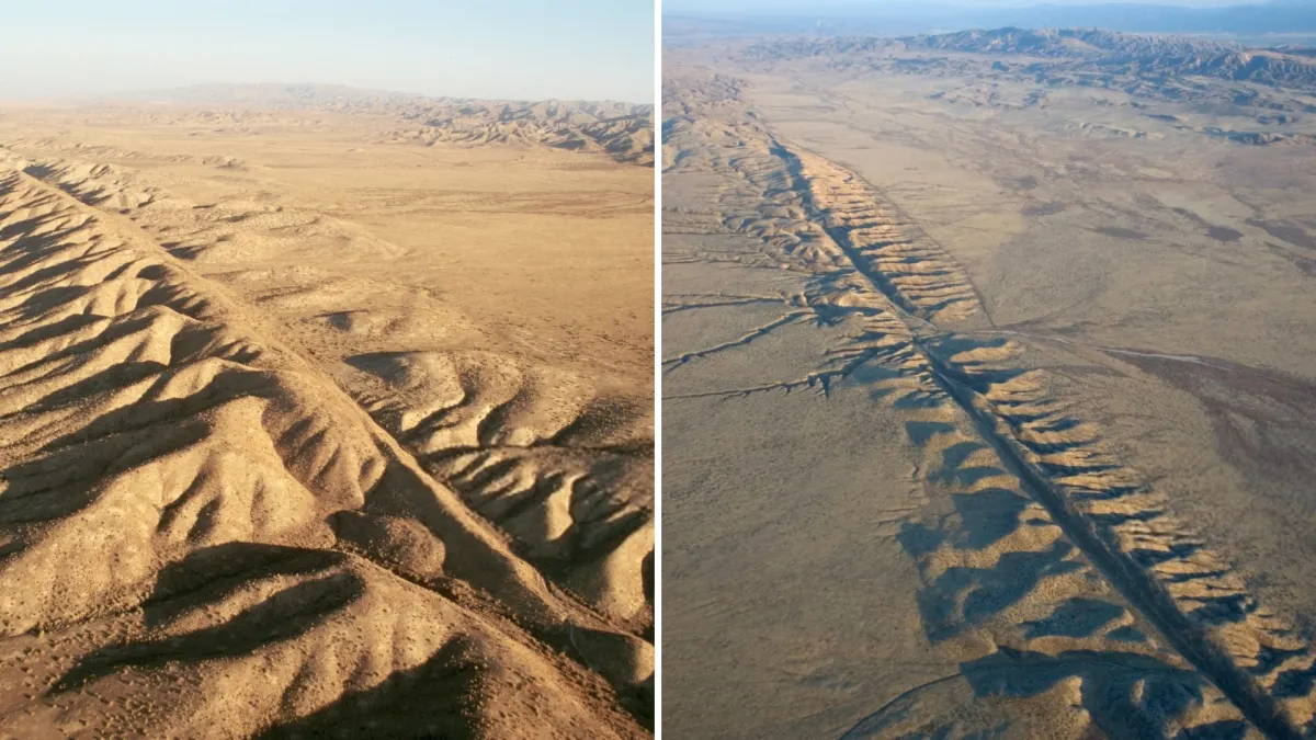
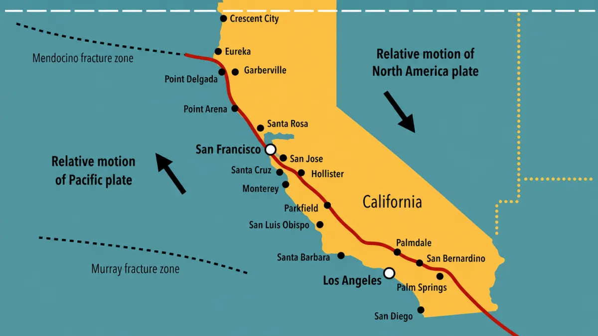
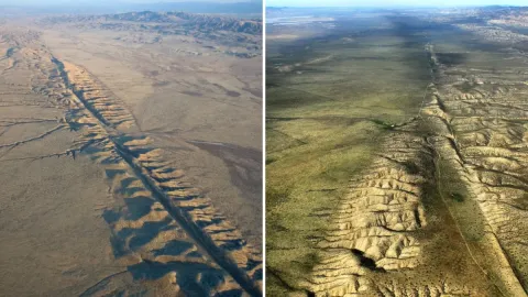
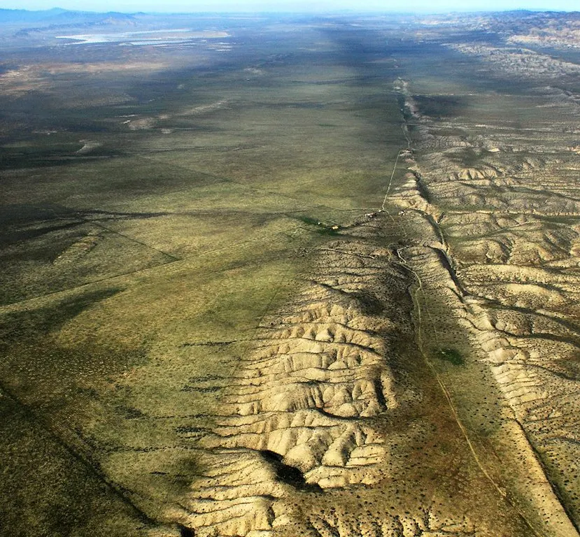
Today, the San Andreas is not just a crack in the ground. It is a major fault system stretching roughly 1,100 kilometers through California, forming the boundary between the Pacific Plate and the North American Plate. It is a right-lateral strike-slip fault, which means the two sides mostly slide past each other horizontally. Some sections creep slowly, while others lock up and store energy for future quakes.
Read More

Could the San Andreas Fault Produce a Major Earthquake?
For earthquake planning, the most widely used official scenario is a magnitude 7.8 event on the southern San Andreas Fault. USGS describes this as a major planning model for Southern California, and the scenario rupture runs along a long stretch of the fault. At the same time, USGS documents note that the fault has been assessed as capable of very large earthquakes, with scenarios used to study effects, damage, and emergency response.
Why the San Andreas Fault Still Matters Today
What makes this topic especially important today is that seismic risk is not only about geology, but also about preparation. Google says strong content should be helpful, reliable, people-first, original, and substantial rather than copied or thin. That is exactly the kind of approach that works best for readers and for Google Discover-style visibility.