
The Muddy Geyser in Jefferson Island
On the morning of November 20, 1980, fifty-year-old drilling contractor Wilson Savoie stood on the metal deck of a Texaco oil rig anchored in the middle of Lake Peigneur, Louisiana. The lake was a quiet, shallow body of freshwater, barely eight feet deep, popular with local fishermen and lined with cypress trees. Texaco had hired Savoie's twelve-man crew to drill an exploratory oil well four thousand feet beneath the lake bed.
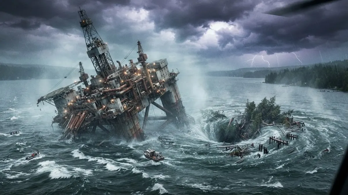
Just after seven in the morning, the heavy twelve-inch steel drill bit jammed tight at thirteen hundred feet. The rig shook with a loud groan, and the hydraulic engines began whining under severe strain. Suddenly, the entire three-thousand-ton drilling platform started leaning hard to one side. The men grabbed safety rails as the deck tilted five degrees, then ten. Brown lake water began pouring over the drilling floor. Savoie didn't hesitate. He yelled at every worker to drop their tools, jump into the safety launch, and gun the motor for the distant shore.
They reached the grassy bank just in time to look back. The massive multimillion-dollar drilling rig, complete with its 150-foot derrick, flipped upside down and was sucked completely beneath the surface of the lake like a child's bathtub toy. A quiet, eight-foot-deep lake had just developed a giant roaring whirlpool in its center, swallowing tugboats, barges, and sixty-five acres of forest.
The Vasa Disaster: Why Sweden's Mightiest Warship Capsized 20 Minutes into Its Maiden Voyage
The Salt Mine Beneath the Waves
What the oil drillers didn't realize was that they were standing directly above one of the largest active rock salt mines in North America. For over sixty years, the Diamond Crystal Salt Company had been carving vast cathedral-like chambers out of a massive underground salt dome beneath Lake Peigneur. At the exact moment Texaco's drill bit seized up, fifty-one miners were working in tunnels twelve hundred feet below the muddy lake bottom.
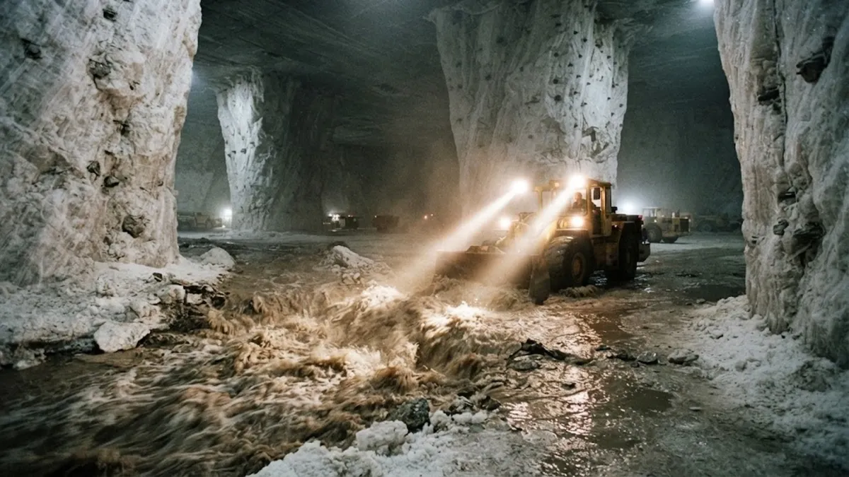
Down on the 1,300-foot level, an experienced heavy equipment operator named Randy LaSalle was driving a diesel tractor through a salt corridor when the lights flickered. He heard a strange roaring sound echoing through the cavern walls, followed by a rush of cold, sulfurous air. LaSalle drove around a corner and hit the brakes. Ahead of him, a knee-deep torrent of muddy brown water was rushing across the white salt floor.
Salt dissolves rapidly in freshwater. When Texaco's drill bit pierced the ceiling of the salt mine, it created a hole barely fourteen inches across. But as hundreds of thousands of gallons of freshwater poured through that tiny puncture, the water washed away the rock salt walls at astonishing speed. Within sixty minutes, a fourteen-inch drill hole melted into a gaping chasm sixty feet wide. The ceiling collapsed, and Lake Peigneur began draining directly into the underground mine like water down a sinkhole.
| Disaster Factor | Before November 20, 1980 | During the Sinkhole Collapse | Final Environmental Outcome |
|---|---|---|---|
| Lake Water Depth | 3 to 8 feet (Shallow freshwater) | Whirlpool drained entire 3.5 billion gallons | Over 200 feet deep (Deepest lake in Louisiana) |
| Water Salinity | Pure freshwater lake | Reverse flow from Gulf of Mexico canal | Permanently brackish saltwater ecosystem |
| Mine Infrastructure | Active salt mine with 51 workers | 50-foot salt caverns flooded completely | Total structural loss; permanently abandoned |
| Human Casualties | 51 miners + 12 oil drillers on site | Evacuation completed in 45 minutes | Zero human fatalities (3 dogs lost) |
The Reverse Waterfall and the 400-Foot Geyser
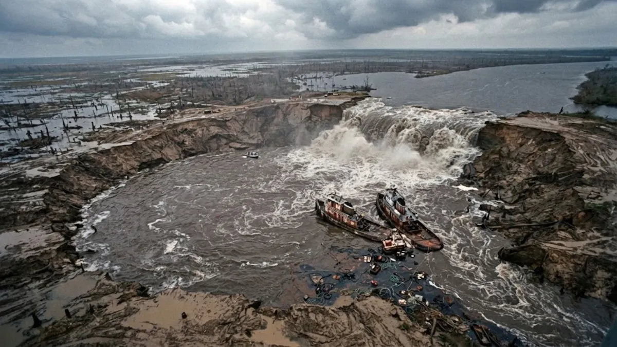
The speed of the collapse overwhelmed everything in its path. As 3.5 billion gallons of lake water rushed underground, it created an immense vacuum. The Delcambre Canal, a waterway that normally carried excess rain runoff from Lake Peigneur out to the Gulf of Mexico, did something never before seen in American geography: it reversed its direction. A twelve-foot wall of salty sea water began surging backward from the ocean into the empty lake bed.
As the backward-flowing saltwater tumbled over the newly formed crater rim, it created a temporary 150-foot waterfall—the tallest waterfall in the state of Louisiana. Eleven commercial cargo barges, a tugboat, and acres of luxury botanical gardens from Jefferson Island were pulled into the vortex, vanishing into the abyss.
Meanwhile, the air trapped inside the flooded mine chambers had nowhere to go. As water filled the subterranean corridors, immense pneumatic pressure built up. A massive column of compressed air and brown muddy water erupted four hundred feet into the sky through the mine's main elevator shaft, roaring like a volcanic geyser for three straight hours.
The Evacuation Miracle
Despite the complete destruction of a multimillion-dollar oil platform, an entire salt mine, and twelve commercial vessels, not a single human being died. All fifty-one miners underground followed emergency battery-lit evacuation trails and rode escape hoists to the surface before the floodwaters overtook the shafts.
The Muddy Aftermath and the Hundred-Million-Dollar Lawsuit
It took two full days for the ocean water rushing backward from the Gulf of Mexico to fill the hollowed-out mine and stabilize the lake. When the waters finally calmed, Lake Peigneur was unrecognizable. A quiet, eight-foot freshwater marsh had been replaced by a deep saltwater bay more than two hundred feet deep. Miraculously, several days later, nine of the sunken barges popped back to the surface like giant corks after the underground air pockets finally broke free.
The legal fallout dragged on for years. Federal investigators concluded that Texaco had been relying on an outdated map and a mathematical triangulation error, causing the drillers to miss their target boundary by four hundred feet and drill directly into the active salt mine ceiling. Texaco and its drilling contractors paid out more than forty-five million dollars to Diamond Crystal Salt and another thirty-two million dollars to the local botanical garden in out-of-court settlements.
Engineering Takeaway
The Lake Peigneur disaster remains the classic case study in subsurface survey safety. A single calculation error on a map transformed an eight-foot freshwater fishing spot into a two-hundred-foot saltwater sea, proving how fragile the boundary between engineering and geology truly is.